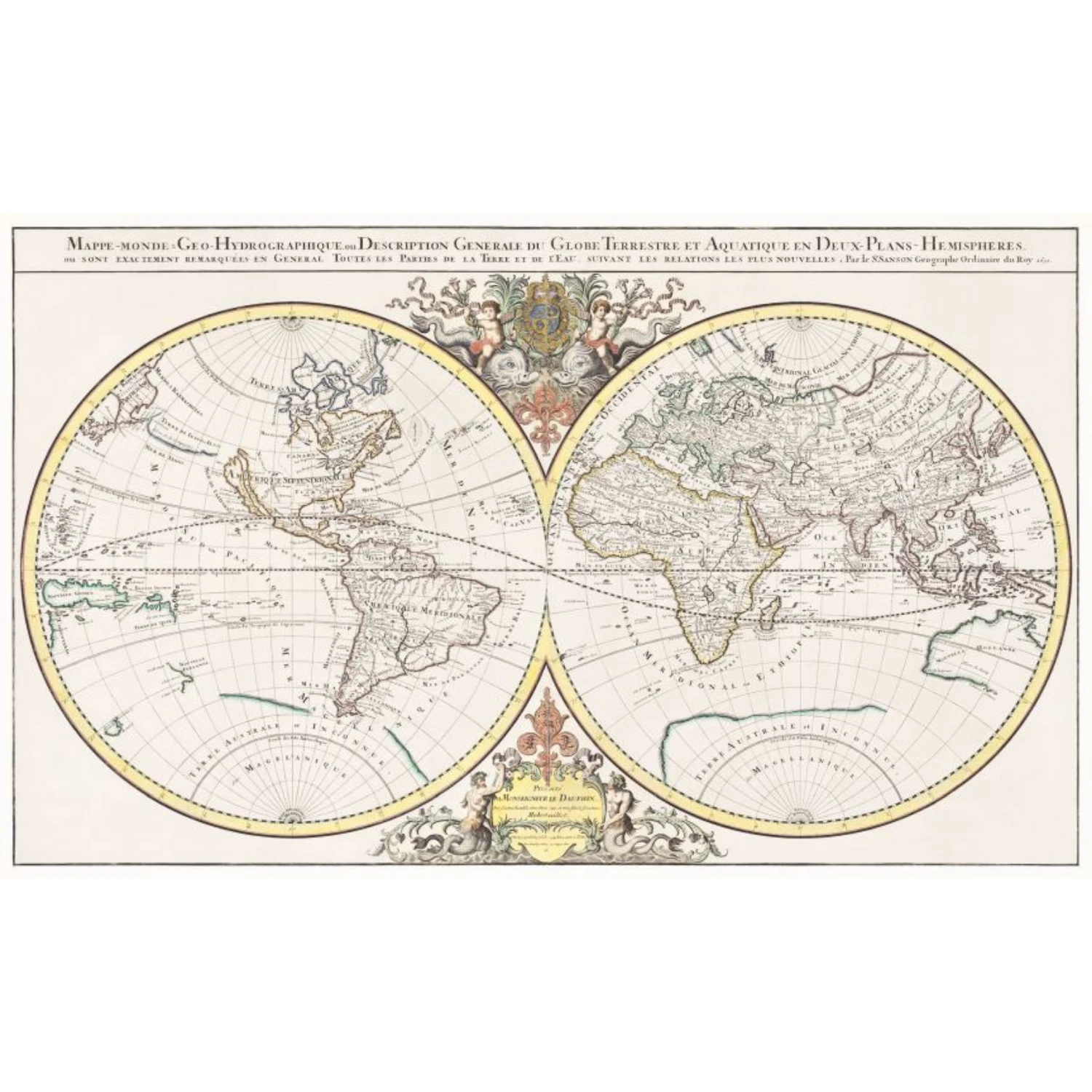
Artist Name
Alexis-Hubert Jaillot and Nicolas Sanson
Width
668 mm x 26.30 inches
Width Range
610 mm - 24 inches to 1220 mm - 48 inches
Height
406 mm x 16.00 inches
Height Range
Less than 610 mm - 24 inches
Edition
Open Edition
Specifications
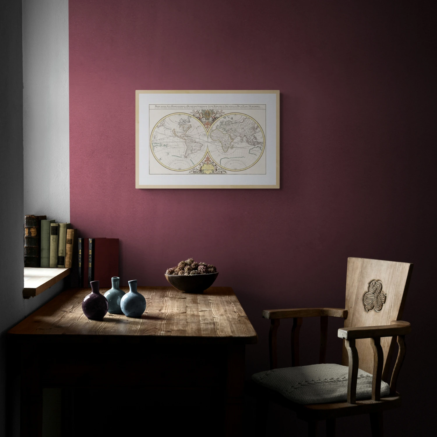
This is a high-quality fine art reproduction of original rare map printed on the enhanced matte archival paper, printed with archival inks. The frames used are 20 mm high quality synthetic wood box frames. The mount used is 1.2 mm matt finish. The print is protected with 2.00 mm float glass. To make it sturdy, a special board is used for the rear panel. Hangers are included on the rear panel.
About the Art form
The earliest maps were generally printed from a wooden block which had been cut in relief (the printed area standing out from the rest) and then inked. This type of map can be seen in the work of Munster (c1550) among others. Most of these maps were never coloured.
Copper and steel engravings form the vast majority of antique maps that can be found today. In this process the image was cut, in reverse, into the metal plate which was then inked, placed with a sheet of paper in a press and the ink in the grooves would produce the image.
Copper, a softer metal, in common use from the early 1500?s until about 1820, would produce relatively few maps before having to be beaten out and re-engraved. Steel was introduced in the early 1800?s and quickly replaced copper because finer lines could be engraved, and far more maps printed on this harder metal. Nearly all engraved maps dated after 1830 were produced on steel.
Surface printing or lithography also started in the early 1800?s and allowed the artist or mapmaker to draw directly on to a specially prepared stone. This was cheaper and faster (no engraver was needed) but most lithographic maps have a fuzzy quality which does not endear them to many. This method can be used with several colours (each colour needs a separate stone).
By the late 1880?s modern machine lithography and printing were taking over and maps lost their decorative quality.
Framing
With Framing
Size with Frame
808 mm - 31.81 inches x 546 mm - 21.51 inches
Year
1691