DESCRIPTION
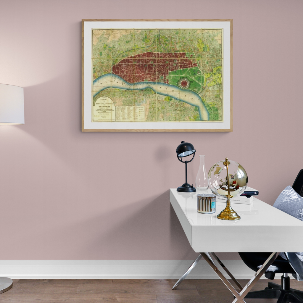
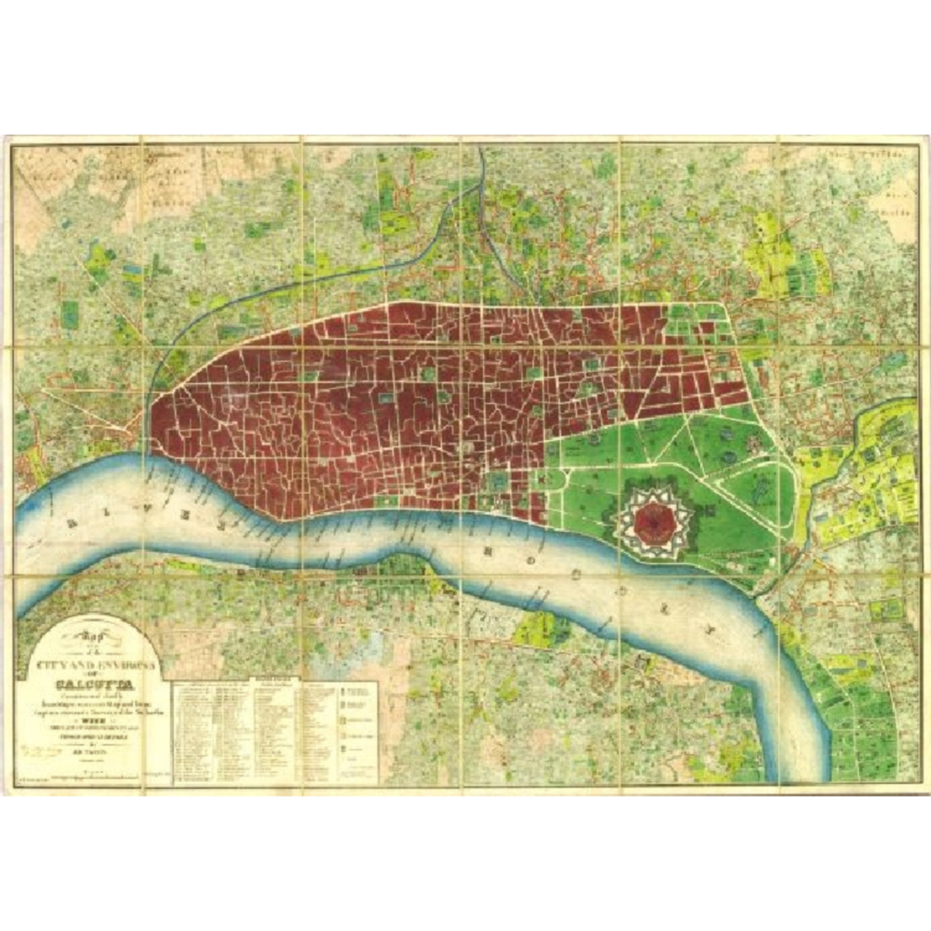
This Magnificent And Extremely Rare Map Is One Of The Most Exquisite Early City Layouts Ever Made In India. It Was Published In Calcutta By Jean-Baptiste Tassin's Oriental Lithographic Press And Has Very Exquisite Hand Colouring Done By Bengali Colorists Using Indian Pigments, Giving It An Outstanding Appearance Distinct From Maps Created In Europe. The maps depict an incredibly precise depiction of Calcutta, which was the capital of the 'Company Raj' and India's premier commercial and cultural metropolis at the time, with a population of about 200,000 people. Major John Augustus Schalch and Captain Thomas Prinsep's landmark study of Calcutta and its surrounds, conducted between 1820 and 1828, served as the foundation for assin's plan. This project was inspired by the necessity to supply the city with a comprehensive drainage system, but it ended up having far larger uses.
Artist Name
Jean-Baptiste Tassin
Edition
Open Edition
Specifications
This is a high-quality fine art reproduction of original rare map printed on the enhanced matte archival paper, printed with archival inks. The frames used are 20 mm high quality synthetic wood box frames. The mount used is 1.2 mm matt finish. The print is protected with 2.00 mm float glass. To make it sturdy, a special board is used for the rear panel. Hangers are included on the rear panel.
About the Art form
The earliest maps were generally printed from a wooden block which had been cut in relief (the printed area standing out from the rest) and then inked. This type of map can be seen in the work of Munster (c1550) among others. Most of these maps were never coloured.
Copper and steel engravings form the vast majority of antique maps that can be found today. In this process the image was cut, in reverse, into the metal plate which was then inked, placed with a sheet of paper in a press and the ink in the grooves would produce the image.
Copper, a softer metal, in common use from the early 1500?s until about 1820, would produce relatively few maps before having to be beaten out and re-engraved. Steel was introduced in the early 1800?s and quickly replaced copper because finer lines could be engraved, and far more maps printed on this harder metal. Nearly all engraved maps dated after 1830 were produced on steel.
Surface printing or lithography also started in the early 1800?s and allowed the artist or mapmaker to draw directly on to a specially prepared stone. This was cheaper and faster (no engraver was needed) but most lithographic maps have a fuzzy quality which does not endear them to many. This method can be used with several colours (each colour needs a separate stone).
By the late 1880?s modern machine lithography and printing were taking over and maps lost their decorative quality.
Provenance
From the Prshant Lahoti Collection, part of Kalakriti Archives, Hyderabad. A private archive comprising of collection of historical maps, photographs, and popular prints of Indian Sub-continent.
Year
1832