DESCRIPTION
This map is a symbolic representation of the ritual topography of the temple as well as the city. Sankhalavi pata is a layout that envisages the sacred area of Puri being in the shape of Vishnu?s conch or Sankha with the temple at its heart, here with its head to the north and its tip to the south. The layout of the conch is variable in all these examples. Jagannatha is ?Lord of the World,? a form of Krishna worshipped at the famous shrine at Puri together with his brother Balabhadra and sister Subhadra. Sankhalavi pata showing a conceptualised realisation of the temple, its images and the whole of sacred Puri as well as indications of both spatial and divine iconography is unquestionably the most spectacular.
Reference: Nanda, Vivek, and Alexander Johnson. Cosmology to Cartography a Cultural Journey of Indian Maps from the Collections of Kalakriti Archives, Hyderabad and National Museum. New Delhi: National Museum, 2015.
Width
1370 mm
Width Range
830 mm - 72 inches and greater
Height
830 mm
Height Range
610 mm - 24 inches to 1220 mm - 48 inches
Medium
Gouache on cloth
Specifications
This is a high-quality fine art reproduction of original rare vintage map, printed on enhanced matte archival paper with archival inks.
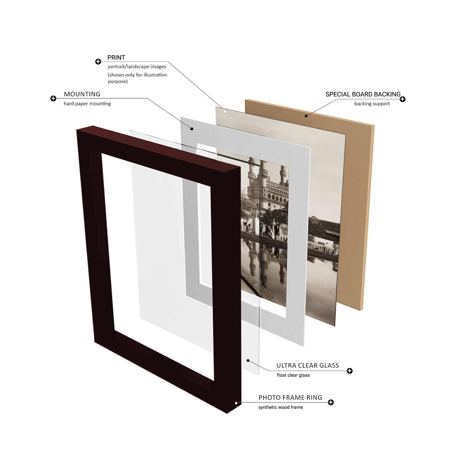
The frames used are high quality synthetic wood box frames or Aluminium frames. The print is protected with either 2.00 mm float glass or acrylic sheet as selected. To make it sturdy, a special board is used for the rear panel and hangers are included on the rear panel.
Provenance
From the Prshant Lahoti Collection, part of Kalakriti Archives, Hyderabad. A private archive comprising of collection of historical maps, photographs, and popular prints of Indian Sub-continent.
Year
1850-75


