DESCRIPTION
Pilgrimage maps circumscribes the experiential and episodic attributes of a religious landscape - regions and places - from the point of view of a pilgrim. They serve as both site guides and mementos alongside acting as living embodiments of the actual tirtha or pilgrimage experience for devotees who are infirm or unable to undertake the sacred journey themselves.
A fragment of a larger scroll, here, the river is depicted branching as it does round Haridwar. Soon the road runs between hills on either side. Shivpuri (just beyond Rishikesh) is the first place of importance marked. Upriver there are numerous shrines dedicated to Rama Laksmana Sita and Hanuman as well as Krishna. The river Ganga is depicted as coming in from the right bank, as it does where the Bhagirathi and Alakananda meet at Deoprayag, where pilgrims are depicted bathing and washing their clothes. Here are a large temple dedicated to Ramacandra and two magnificent banyan trees. The pilgrimage path continues up the Alakananda. Fortresses are noted on both sides of the river, Vanagadh and Durgakoti.
The map is read from left to right. Most of the action is assumed to be, or subsumed into, the right bank of the river, i.e. the upper part of the scroll. In keeping with such route maps, things depicted on the left bank of the river are depicted upside down. The scroll is plentifully supplied with inscriptions, naming sacred places, villages, mountains and trees.
The path is conspicuously painted yellow all the way along the scroll and we see travellers and pilgrims following it up and down mountainsides and over the bridges across the rivers.
Reference: Nanda, Vivek, and Alexander Johnson. Cosmology to Cartography a Cultural Journey of Indian Maps from the Collections of Kalakriti Archives, Hyderabad and National Museum. New Delhi: National Museum, 2015.
Artist Name
Unknown Artist from Rajasthan
Width
3560 mm
Width Range
830 mm - 72 inches and greater
Height
395 mm
Height Range
Less than 610 mm - 24 inches
Medium
Opaque watercolor on cotton
Specifications
This is a high-quality fine art reproduction of original rare vintage map, printed on enhanced matte archival paper with archival inks.
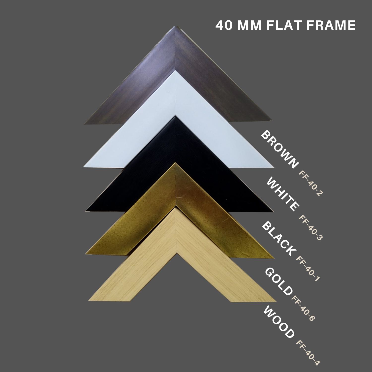
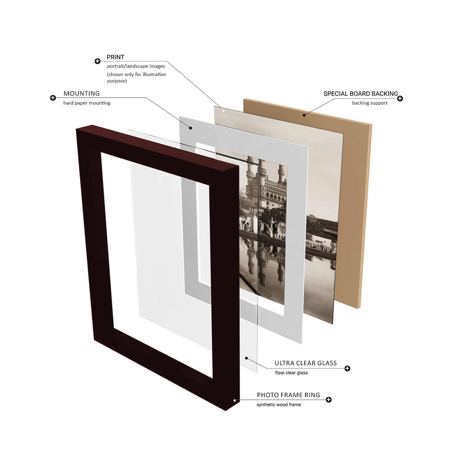
The frames used are high quality synthetic wood box frames or Aluminium frames. The print is protected with either 2.00 mm float glass or acrylic sheet as selected. To make it sturdy, a special board is used for the rear panel and hangers are included on the rear panel.
Provenance
From the Prshant Lahoti Collection, part of Kalakriti Archives, Hyderabad. A private archive comprising of collection of historical maps, photographs, and popular prints of Indian Sub-continent.
Framing
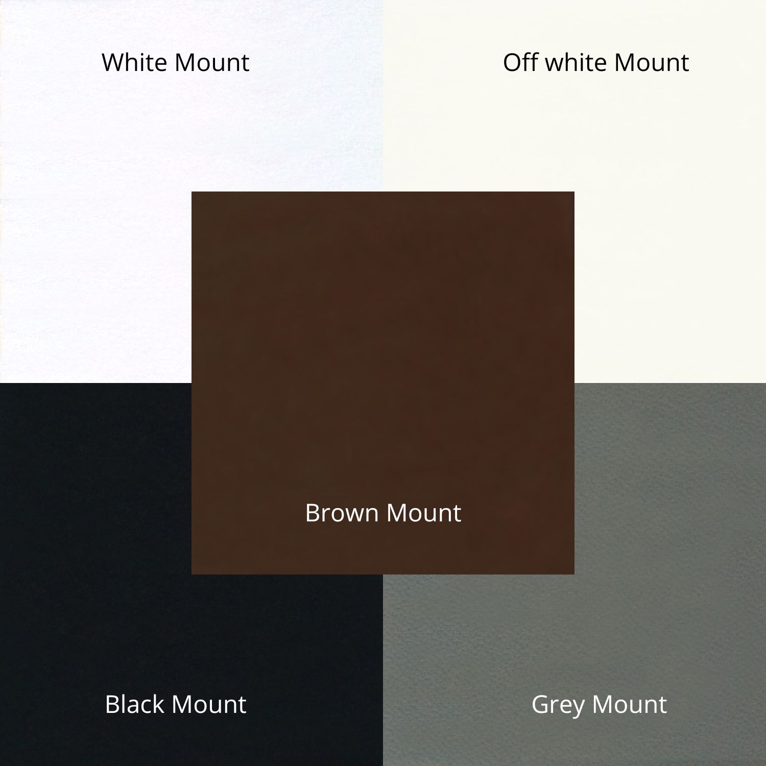
With Framing


